PO Box 95
Lyttelton 8841
Te Ūaka recognises Te Hapū o Ngāti Wheke as Mana Whenua and Mana Moana for Te Whakaraupō / Lyttelton Harbour.
The Gollans Bay Quarry
Gollans Bay lies below Tapuwaeharuru Evans Pass on the north-eastern side of Te Whakaraupō Lyttelton Harbour, embraced by Te Awaparahi Bay and Battery Point.
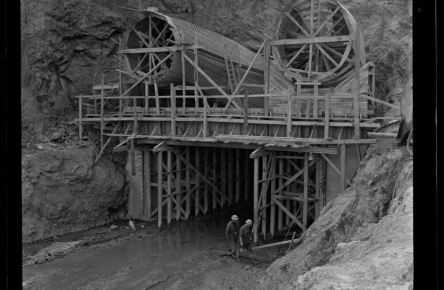
The English name for the bay comes from civil engineer and surveyor Donald Gollan (1811 - 1887), a Scotsman who in 1849 was one of the New Zealand Company’s survey staff who mapped Canterbury. He planned and began the construction of the Lyttelton to Sumner Road, which was completed in 1858. There was even a suggestion in those early days of the Bay being used as the settlement's main harbour, with a tunnel through the hill to Sumner, though this idea was superseded by the Lyttelton to Christchurch rail tunnel (opened in 1867).
Nearby Battery Point was so named as it was an important European military defence site designed to protect the inner harbour during the 1880 Russian scare and the first and the second world wars. The fortifications at Battery Point worked in conjunction with those on Ripapa Island; Ripapa had been an important Ngāi Tahu fortified pa site, still in occupation until the early 1830s.
The Battery Point defences were the earliest European ones in the Harbour; it was not until 1939 that the gun emplacements at Awaroa Godley Head were constructed. Although Battery Point is no longer accessible to the public, the structures at Awaroa Godley Head are still able to be visited today via a series of walking tracks.
The slopes of the hills encircling Gollans Bay are extremely steep and virtually treeless. Although challenging to access, those rocky hillsides have provided a valuable source of rock and fill since the days of the region's first major construction projects.
The Lyttelton Port Company is now legally responsible for the quarry, which has been an integral contributing factor to the company's development and port expansion. In the 1950s and early 60s it was the source of material for the development of the Cashin Quay container berth, which opened in 1963. Our photographs showing a confident and relaxed looking quarry crew with their large earthmoving machinery was doubtless taken during this phase.
Post earthquakes, a major project undertaken by Taylors Contracting Company saw 240,000 cubic m being moved to create the current roadways in the quarry. The huge land reclamation project at Te Awaparahi has seen 6 ha worth of the 16 ha of land reclaimed coming from fill from the quarry; an initial 10 ha was constructed using rubble from the city centre and its surrounds.
Lyttelton Port Company, Environment Canterbury, Te Hapū o Ngāti Wheke, Te Rūnanga o Ngāi Tahu, Christchurch City Council and the Whakaraupō Lyttelton Harbour community are in partnership within the Whaka-Ora Healthy Harbour plan. This catchment management plan has a vision of restoring the ecological and cultural health of Whakaraupō Lyttelton Harbour as mahinga kai, for generations to come.

